Guided Support
Four support levels, from independent walkers with a briefing to fully supported groups.
Compare tours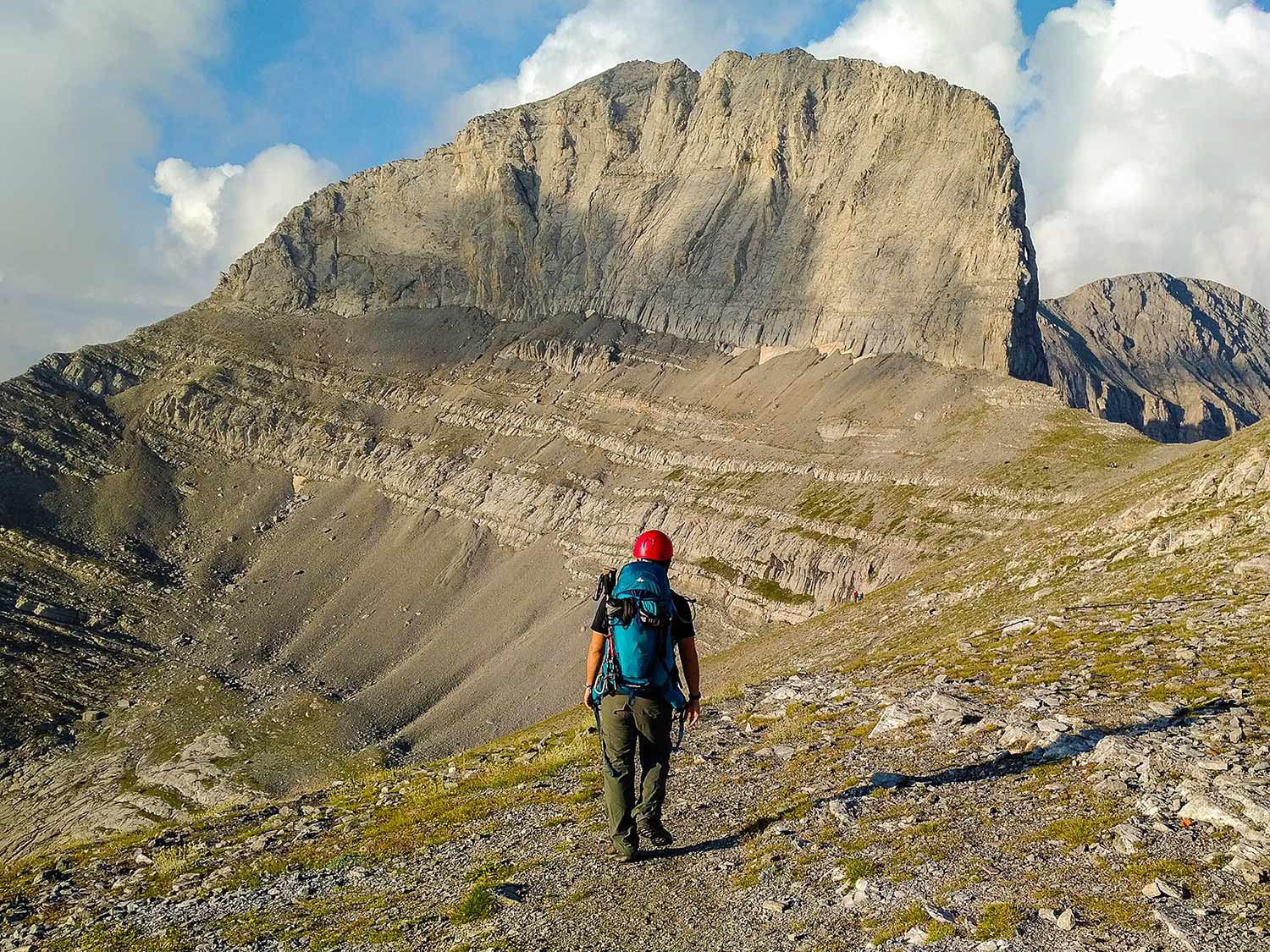
Twelve shelters. Twelve stamps. One passport. A journey across the whole Mountain of the Gods.
The official route line has not been published yet. The planner and map remain available for private route drafting.
Most people come to Olympus purely for the summit. There's so much more.
It began with a hiker with a background in rescue-team work, long journeys, and pilgrim roads like the Camino de Santiago. One question kept returning: why is so much of Olympus neglected, with only local hikers experiencing everything it has to offer? It's one thing viewing history through specific archaeological sites, and another to see an aerial view of how such periods and events would have played out on a much more macro scale.
So the line was built on foot. Shelter by shelter. Map by map. Through forests, ridges, beautiful views, emergency huts, radio checks, tired legs, weather, stamps, and the quiet relief of reaching the next resting place.
The result is a 92.5 km circular crossing of the Mountain of the Gods.
The challenge was not designed as a neat line on a screen. It was walked into shape by someone trying to see Olympus whole, with ties to local hikers and their inter-personal friendly competitions.
It connects the more commonly trodden eastern refuges with the northern, western, and southern sides of the mountain. It passes the places most visitors know, then keeps going into the quieter terrain: Barbalas Ridge, Kofto toward Agapitos, Kitros, Nana, Flambouro, Christaki, Salatoura, Agios Antonios, Migotzidis, and Livadaki.
The route has been done in a single hike without breaks, although we would not advise this for anyone unfamiliar with the terrain.
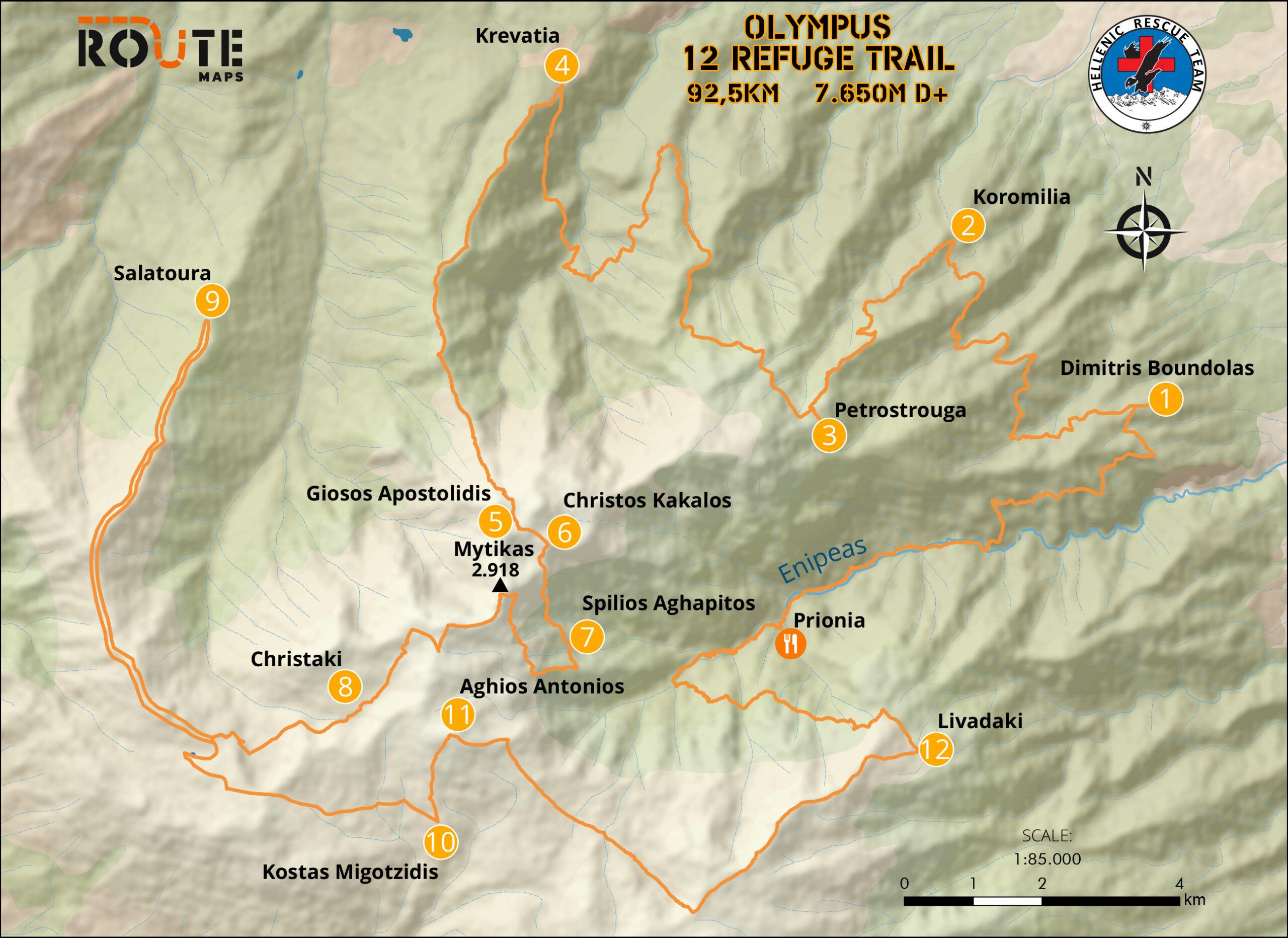
Route facts, difficulty, equipment, and route status.
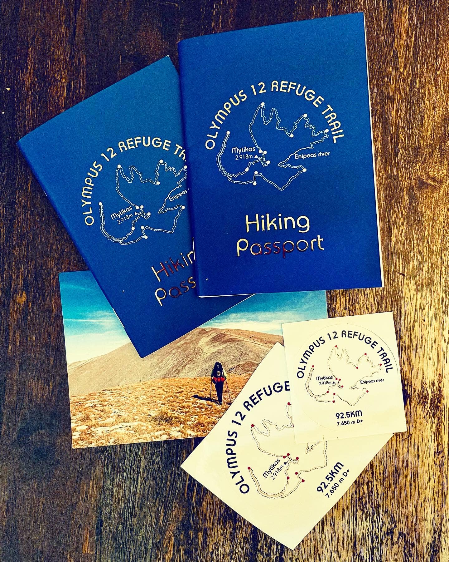
Passport, stamps, completion, recognition, and the 12RT map.
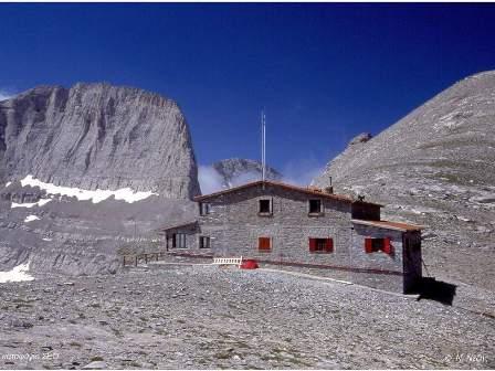
Olympus has fourteen shelters; the challenge links twelve of them into one public route identity.
Four support levels, from independent walkers with a briefing to fully supported groups.
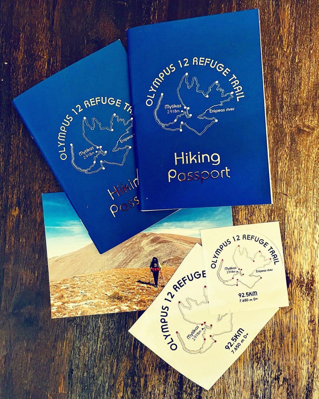
Compare toursThe passport turns the route into something you can hold.
It gets dirt on it. Sweat. Notes. Stamps. Small memories you will forget until you open it again.
Each shelter has its own stamp. Some will be easy to collect. Others may come after wind, low water, cold rooms, or the private argument in your head about whether you can keep moving.
Finish all twelve and the passport becomes proof of something simple: you did not just visit Olympus. You crossed it with intention.
A circular 92.5 km Olympus route with 7,650 m of positive elevation, long multi-day pacing, and several sections that deserve real caution.
TrailOne passport, twelve shelters, twelve stamps, and no time limit: complete Olympus in the way your mountain experience allows.
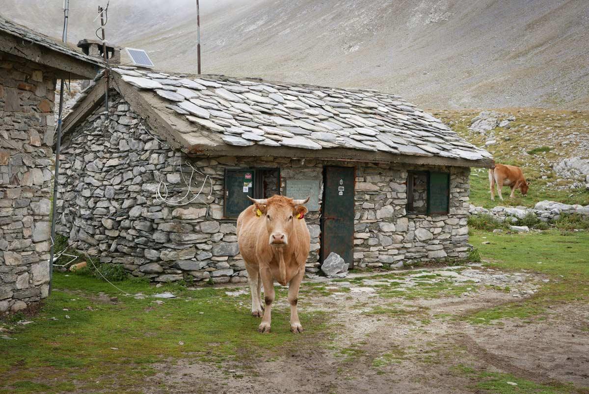
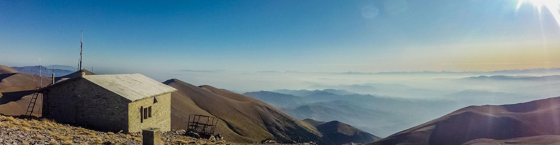
ChallengeOlympus has fourteen shelters in total: eight organised refuges with summer services and six emergency shelters for prepared mountain users.
RefugesFour support levels for different hikers: Self-Guided Plus, Semi-Guided, Fully Guided, and All Inclusive.
ToursProject origin, rescue-team purpose, first challengers, interviews, and practical trail lessons.
StoriesThe origin story: a 14-day solo route in 2020, twelve shelters, rescue-team fundraising, and the idea of a Camino de Olympo.
A challenger diary with Litochoro, Prionia, Livadaki, cold shelters, low water, wrong turns, stamps, and hard decisions.
A completion interview from a challenger who finished the 92.5 km circular route in 5 days and 9 hours.